
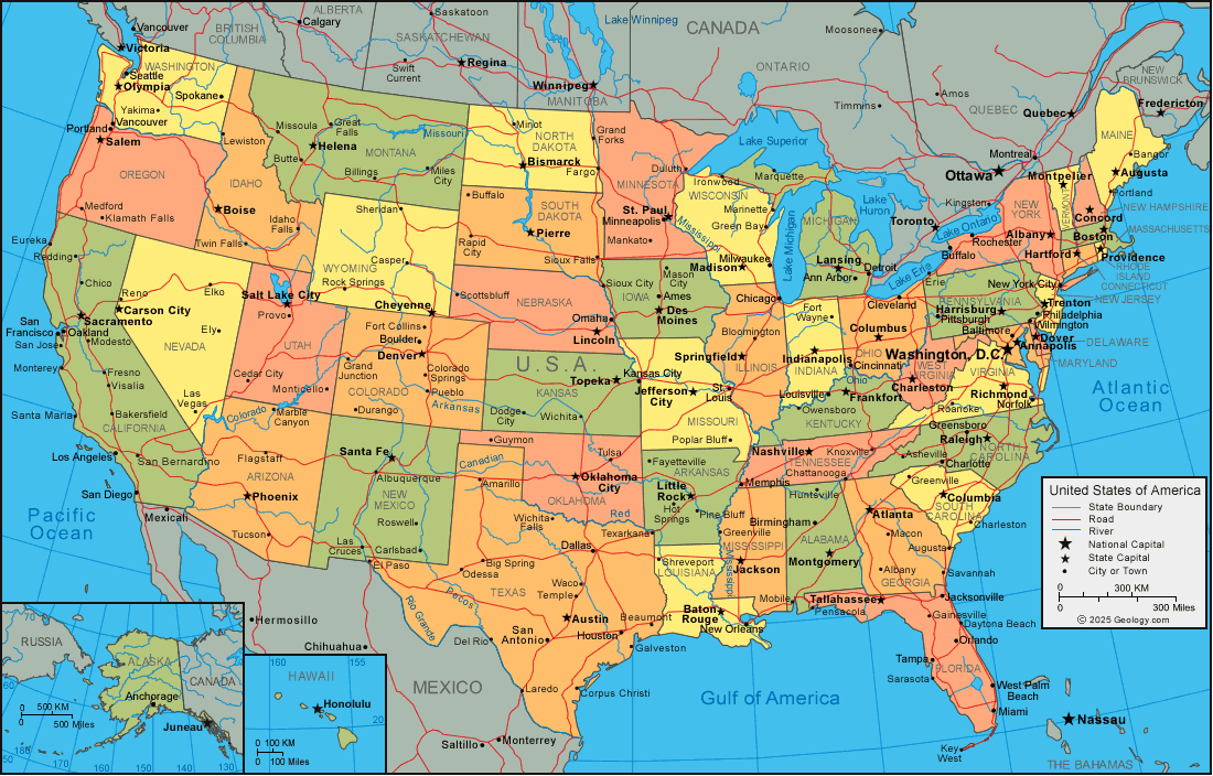
Exploring Chickasaw County History Through Maps
Using Maps to Explore Chickasaw County History
Maps do more than show where places are. For family historians, they can reveal how communities grew, where ancestors lived, and how changes in roads, railways, rivers, and county boundaries shaped everyday life. A map can turn a name in a census or family record into a place to investigate.
Why Maps Matter in Genealogy
Historical maps can help researchers locate an ancestor’s home, farm, church, school, or place of work. They may also show how close a family lived to relatives, neighbors, businesses, or community institutions. Comparing maps from different years can uncover changes that are easy to miss in written records: a road that was rerouted, a town that expanded, or a settlement that later disappeared.
Maps are especially useful when researching land. Plat maps often identify landowners and show the location and size of individual parcels. When compared with deeds, tax records, and census schedules, these maps can help clarify where a family lived and how property passed from one generation to the next.
Maps to Look For
- County and township maps: These show local boundaries and the locations of towns, roads, waterways, and public institutions.
- Plat maps and atlases: These may name landowners and identify farms, parcels, and community features.
- Sanborn fire insurance maps: Available for some communities, these detailed maps can show buildings, streets, and construction materials.
- Railroad and transportation maps: These can help explain how people and goods moved into, out of, and within a region.
- Topographic maps: Contour lines and natural features can help researchers understand the landscape around a family’s home.
Putting a Map in Historical Context
Always consider when a map was made and what it was intended to show. A map may reflect the boundaries or place names of its own time, which can differ from those used today. County, township, and city boundaries may have changed, and a familiar location may have had a different name in an earlier record.
It can also help to compare a historical map with a modern one. Look for lasting landmarks such as rivers, roads, rail lines, and town centers. These features can help connect an old location to a place you can identify today. Keep in mind that roads may have shifted and waterways may have been altered, so use more than one source whenever possible.
Tips for Researching Chickasaw County Places
When exploring Chickasaw County history, begin with the place names and jurisdictions recorded in your family documents. Note the township, town, or nearby landmark, along with the date of the record. Then compare that information with maps from a similar period. County atlases, local histories, land records, and government map collections may provide useful clues.
Record the title, publication date, creator, and source of each map you consult. If a map identifies a family’s property, cite the map and page or section where the information appears. A map is valuable evidence, but it is best used alongside records such as deeds, census schedules, tax lists, church registers, and newspapers.
Maps Connect People to Place
Every map offers a snapshot of a community at a particular moment in time. Studying maps alongside family records can help bring ancestral places into focus and reveal how the landscape influenced people’s lives. Whether you are tracing a farm, locating a former school, or learning how a town developed, maps can provide an important perspective on Chickasaw County’s past.
Understanding Maps: Answers to 8 Common Questions
- What is a map?
- What are the different types of maps?
- What is the difference between a political map and a physical map?
- How do you read a map scale?
- What do the symbols and colors on a map mean?
- How can you find your location on a map?
- What is the difference between a map and a globe?
- How do you use latitude and longitude to find a place?
What is a map?
A map is a visual representation of a place or area, showing the location of features such as roads, rivers, towns, boundaries, and landmarks. Maps can depict real places or present information about a specific topic, such as land ownership or transportation. Historical maps are especially useful for family research because they can show how communities and properties changed over time.
What are the different types of maps?
Maps come in many forms, each designed to show different kinds of information. Road maps help people navigate, while topographic maps show elevation and terrain. Political maps display borders and jurisdictions, and historical maps reveal how places and boundaries changed over time. Thematic maps focus on a particular subject, such as population, climate, or land use, while plat maps show property boundaries and landownership. For family history research, historical, county, and plat maps can be especially useful for locating ancestral homes and understanding the communities where relatives lived.
What is the difference between a political map and a physical map?
A political map shows human-made boundaries and places, such as countries, states, counties, cities, and towns. A physical map focuses on natural features, including rivers, lakes, mountains, plains, and other parts of the landscape. In short, political maps help you understand how land is divided and where communities are located, while physical maps show the land’s natural shape and features.
How do you read a map scale?
A map scale shows the relationship between distance on the map and distance in the real world. For a written scale such as “1 inch = 1 mile,” each inch measured on the map represents one mile on the ground. A ratio scale, such as 1:24,000, means one unit on the map equals 24,000 of the same units in reality. A graphic scale uses a marked line you can measure against a map distance. Check the scale before estimating distances, and remember that enlarging or shrinking a map may make its printed scale inaccurate.
What do the symbols and colors on a map mean?
Map symbols and colors represent features such as roads, buildings, rivers, parks, property boundaries, and changes in elevation. Their meanings vary by map type and publisher, so check the legend or key—usually found near the map’s edge—for an explanation. Historical maps may use symbols or color conventions that differ from modern ones, making the title, date, and accompanying notes helpful clues when interpreting them.
How can you find your location on a map?
To find your location on a map, first identify nearby landmarks, roads, rivers, or town names and compare them with what you can see around you. On a paper map, use the map’s legend and scale to interpret symbols and distances, then follow roads or other features to narrow down your position. On a digital map, enable your device’s location services and tap the location icon to see your approximate position. Check the map’s orientation and scale, and remember that your location estimate may be less accurate indoors or where the signal is weak.
What is the difference between a map and a globe?
A map is a flat, two-dimensional representation of all or part of Earth, while a globe is a three-dimensional model of the planet. Maps are convenient for showing details of a specific area and are easy to store, but flattening Earth can distort the size, shape, distance, or direction of places. A globe more accurately represents Earth’s overall shape and the relative positions of continents and oceans, though it cannot show as much local detail and is less convenient to carry.
How do you use latitude and longitude to find a place?
Latitude and longitude describe a place’s position on Earth. Latitude tells how far north or south it is from the Equator, while longitude tells how far east or west it is from the Prime Meridian. Enter the coordinates into a map or GPS app, usually with latitude first and longitude second, and include the correct direction or plus/minus signs. For example, a location might be written as 43.06° N, 92.32° W. Check the coordinate format carefully, since degrees, minutes, and seconds can also be used.